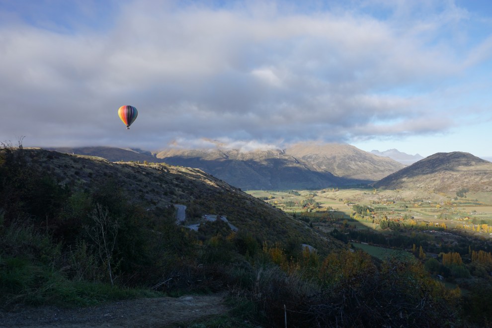
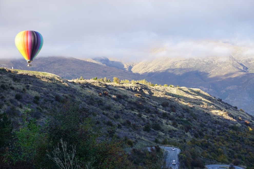
The next morning, Grant woke up easier than I did and headed to grab some breakfast to bring back to the room while I caught a little more sleep. We finished packing and headed to our hike about an hour north of Queenstown. The hike was called Roy’s Peak, and looking up the trail’s difficulty, we had read that the track was basically all uphill with very few flat reprieves. We were okay with the hike as long as we didn’t have to boulder or use our hands to climb. The drive to the trailhead was quite scenic, going through a mountain pass where we happened to get to see a hot air balloon land on top of the hill.
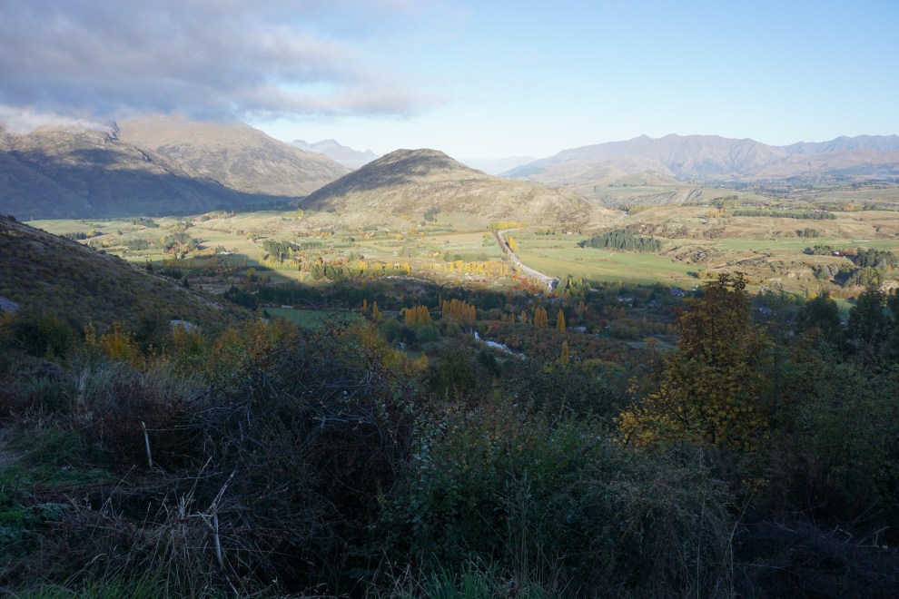
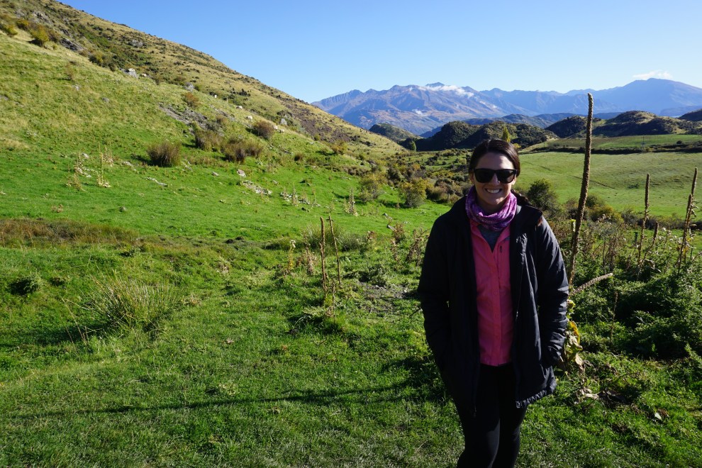

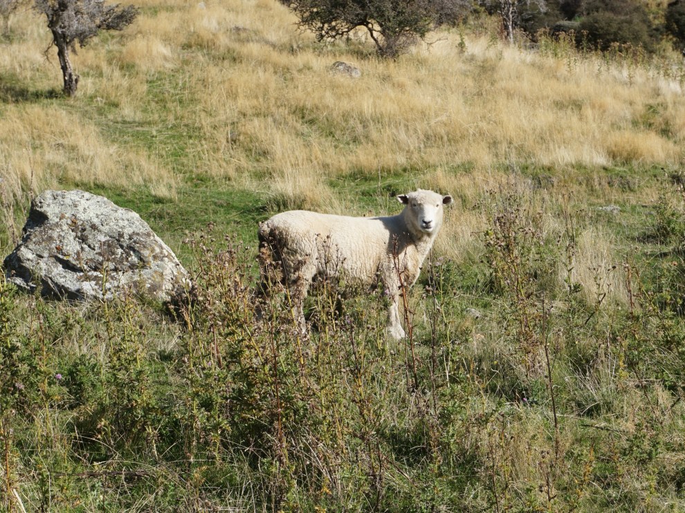
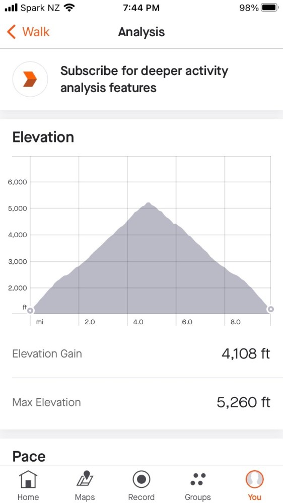
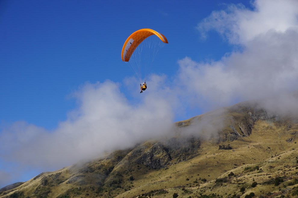
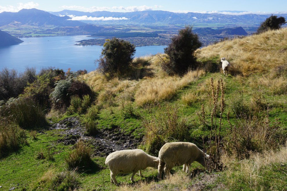
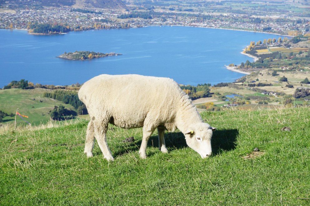
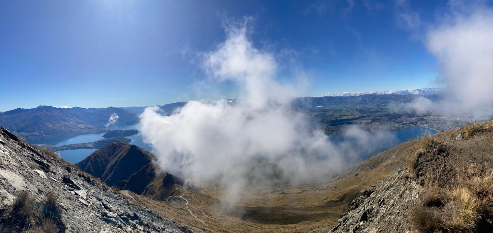
However, the reviews were definitely correct. If you look at the elevation map, it is straight up and straight down for the entirety of the 16km hike. And with 4100 feet of elevation gain! We planned to get to certain curves of the switchbacks before stopping for a breather or water break. You play hopscotch with the other hikers heading up, as we all needed those stopping breaks. Along the trail, we witnessed two paragliders flying down the side of the peak. That is the fastest way to get down the mountain. Although the quads were burning the entire way up, it was fun to take in the views of the clouds rolling in and all the sheep grazing on the hillsides. (Though Grant would likely say it didn’t look like I was having too much fun during the middle portion of the journey up… though we definitely did better than a number of couples we observed arguing on the way up due to how strenuous the elevation gain was).


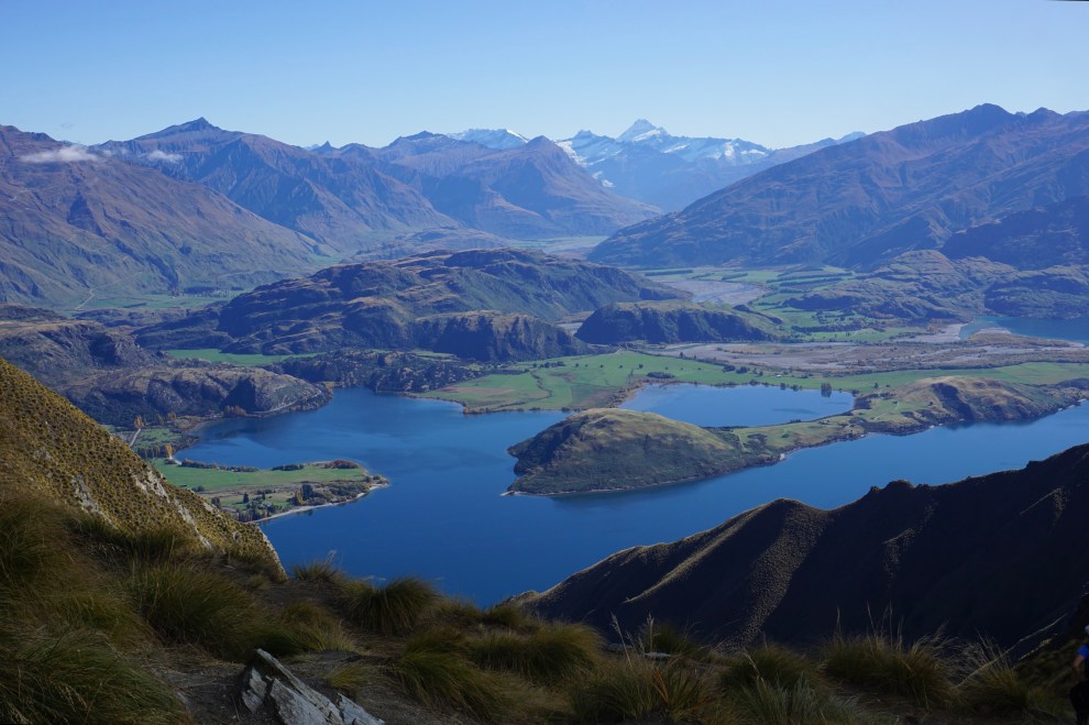
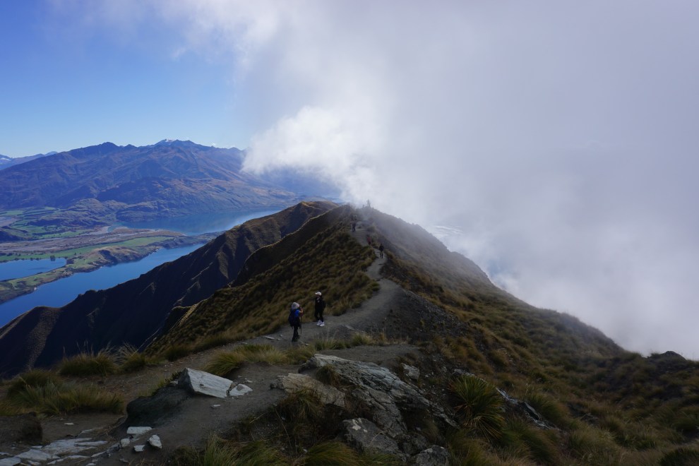
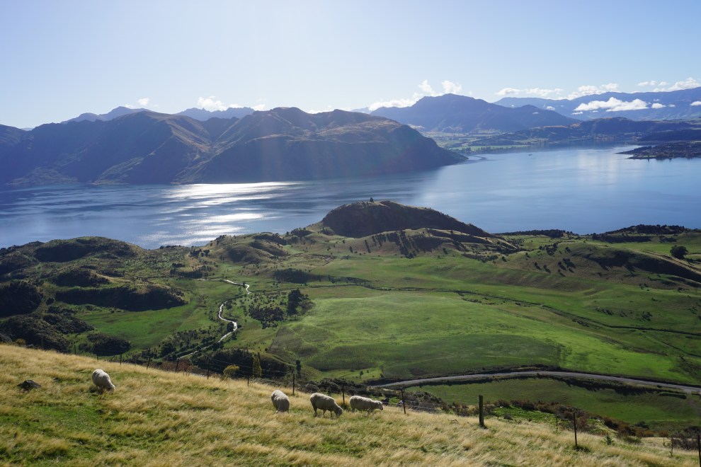
We decided to skip the first photo spot to reach the peak. Unlike our hikes in Patagonia, these signs were accurate with the time and distance to each point. It was about 30ish minutes to the peak, and we grabbed a spot on the concrete slab at the top to enjoy the snacks we had brought. Looking around at the other hikers, I realized we needed to step up our snack options for our hikes. Some people brought food containers, like soup and sandwiches, while we just had apples and some trail mix.
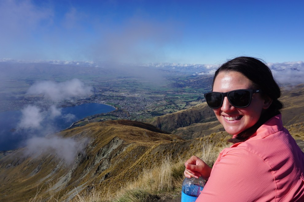
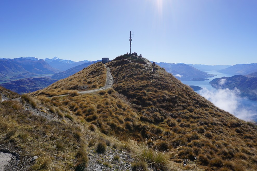
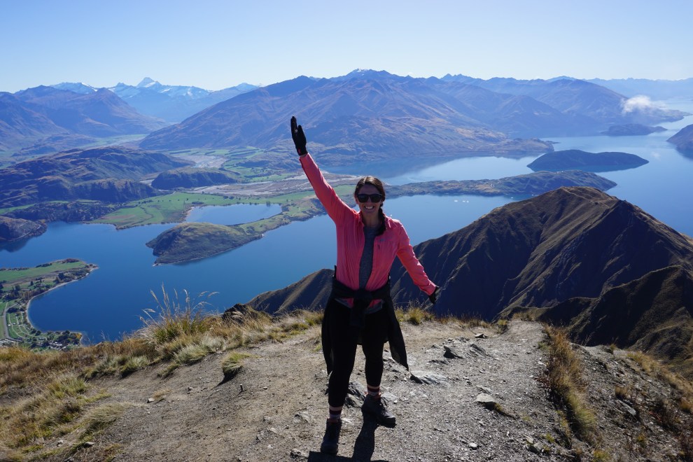
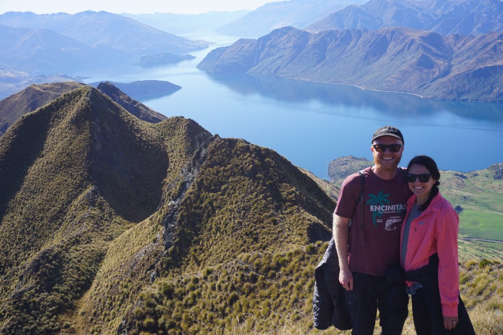
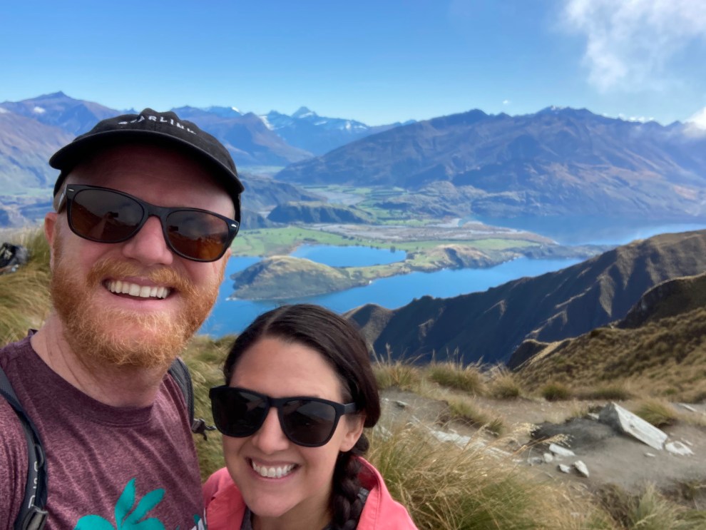

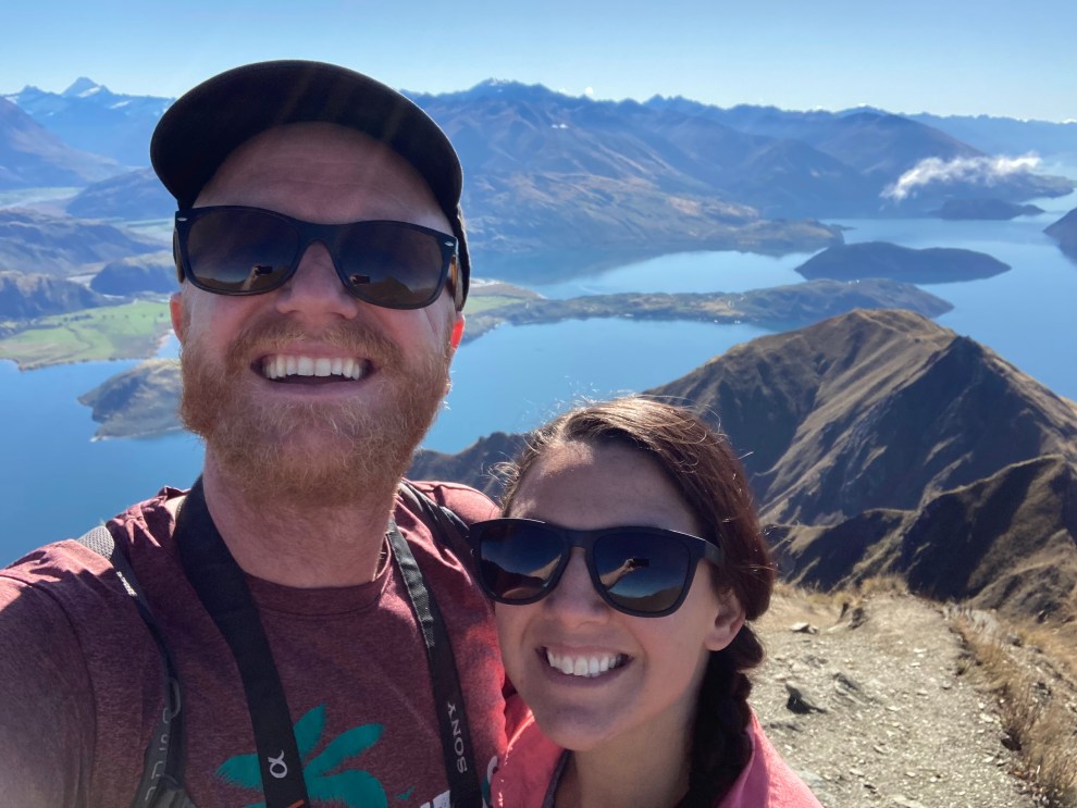
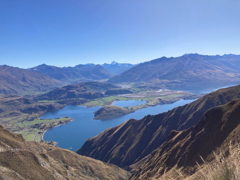
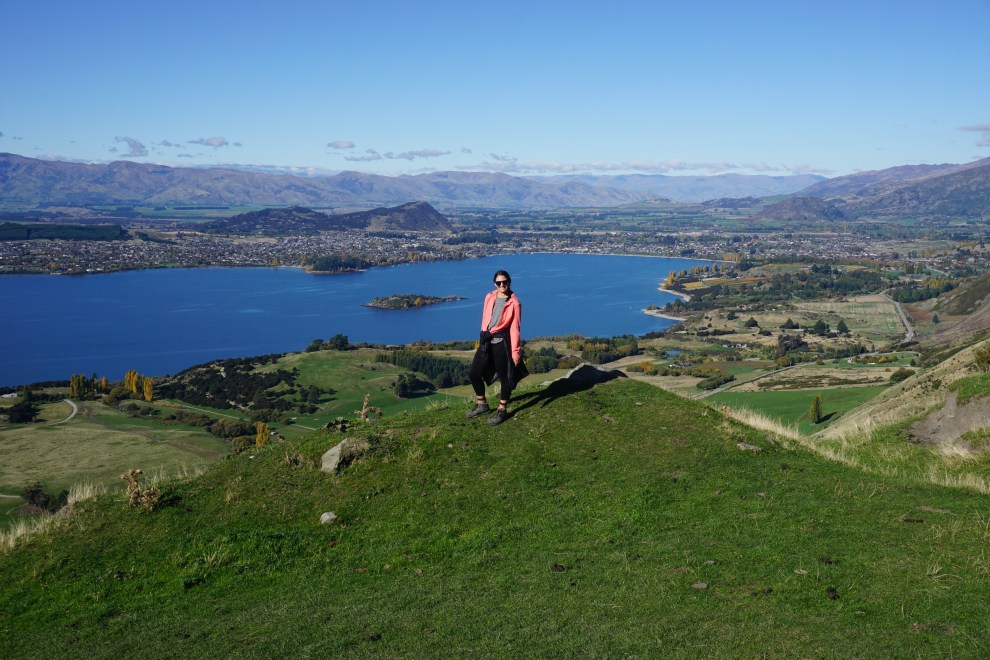
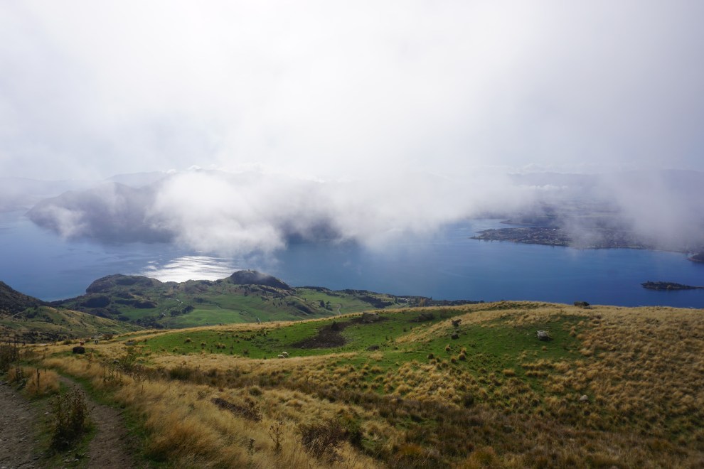
We grabbed our photos at the top before heading down to the initial photo stop. We realized some people we hiked up with likely stopped at this one and never headed up to the peak. Although the views were similar, you got better views of the nearby lake at the lower point. The descent was much faster, and the entire hike took us about 4 hours to complete with all our stops.
Hungry and ready for a rest break for our legs, we headed into the nearby town of Lake Wanaka for some food and to figure out our plans for the next couple of days. Grant had initially planned to skydive over Fox Glacier as it is said to have the best views in the world for skydiving. However, Grant got an email from the skydiving company saying he needed to have 500 skydives under his belt, whereas he “only” has 150, so solo skydiving was out. Since that was out, we needed to decide between the Mount Cook or the glacier sides of the mountain range. We’d read the Mount Cook side, though gorgeous, is fairly comparable to driving through Colorado so we ultimately decided to head toward Franz Josef and stay there for the next couple of days to see giant glaciers rolling through rainforests right next to the beach. We then knew we’d be heading to Kaikoura for our dolphin encounter Sunday, which was a bit of a longer drive from the glacier side of the range but we felt worth it.
Once our meals were finished, we hit the road and headed for the town of Haast, as we wanted to avoid driving too much in the dark so as to not miss all the scenery. We made some stops along the way to fly the drone and take pictures of the scenery around us. I crashed early that night while Grant uploaded and edited some photos from his camera and drone.
